Project planning
Roadmap
I warned you: Mygotopia will be vast. In time, this addon will even be bigger than Grand Utopia. However, the urban density will be lower, offering long-distance journeys through the wild, natural landscapes of Mygotopia. You'll discover vast, lush forests, wide agricultural plains as far as the eye can see, arid desert expanses, imposing rocky peaks, deep, steep canyons and majestic lakes.
This diverse natural setting promises a unique driving experience, where every bend reveals a new panorama. You can enjoy the tranquillity of the deserted roads, admire the beauty of the scenery and fully immerse yourself in the atmosphere of Mygotopia.
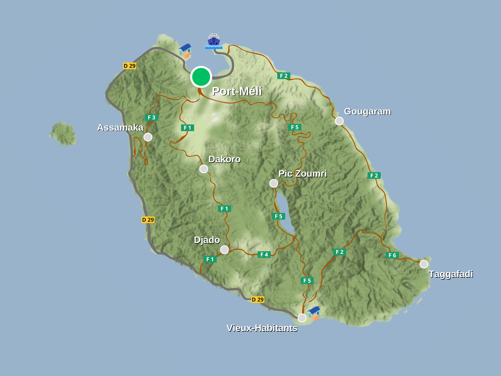
Here is the first version of the planning for the main roads and future municipalities. This map will give you an overview of future road connections and planned urban areas. For a better view, you can access the HD version of this image via the download button below the roadmap.
It is important to note that this plan is an initial draft and may evolve over the course of development.
In grey, you will find the tarmac roads linking the two main towns.
In brown, you will find the forest roads of the secondary network. Be careful, these roads are not tarmac and can be more or less wide!
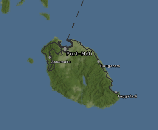
World map of the latest available version (v1.1)
Add a comment